Two-thirds of the world is covered by water
CloudMAP covers the rest!

Primary services we offer listed below.

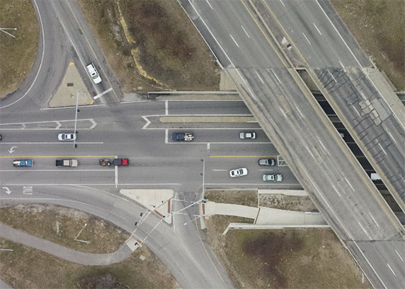
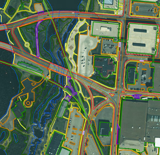
Acquisition Platforms (Airborne, Terrestrial, Vehicle)

  • Fixed-Wing (single, twin engine, Lear)
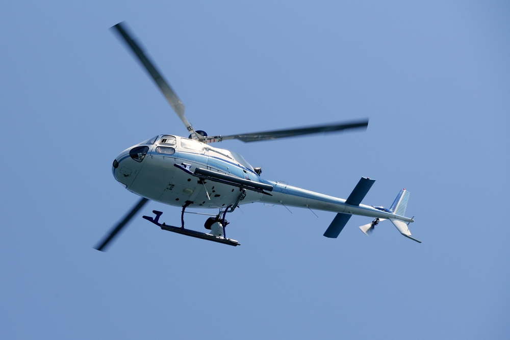
  • Helicopter
  • Drone (UAV/UAS)
  • Vehicle
  • Static (tripod)
  • Hand-held

Aerial Photography / Imaging

Digital Acquisition

  • Leica ADS40-ADS100
  • Intergraph Z/I Imaging DMC I/II
  • Microsoft/Vexcel UltraCAM (all)
  • Applanix DSS
  • DiMAC Systems DiMAC
  • Oblique

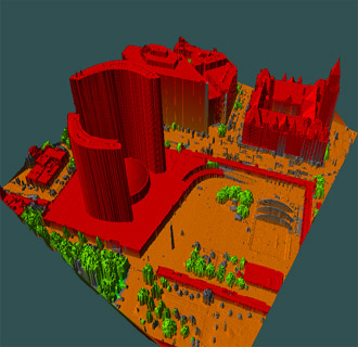
(Large, Medium & Small formats)

Light Detection & Ranging (LiDAR)

Acquisition Systems 25-500kHZ

  • Multiple Return
  • Multi-Pulse in Air (MPIA)
  • Full Waveform
  • Multi-Spectral LiDAR
  • Geiger-Mode LiDAR

Terrestrial (Time-of-Flight / Carrier Phase)

  • Handheld LiDAR
  • Vehicle Based Systems
  • Static / Tripod Based Systems

Mapping / Data Processing / Positioning

Airborne GPS / IMU

  • GNSS/CORRS

Control Surveys

  • Base station setup/support
  • Preflight targeting / control establish & recovery

Fully Analytic Aero-triangulation (FAAT)

  • Orthophotography (1st & 2nd generation)
  • Point Cloud (LiDAR / Autocorrelation / Classification)
  • Bare Earth DEM, DSM, DTM
  • Contours (ASPRS, NMAS, NSSDA)
  • Break-line supplementation, profiles & cross sections
  • FEMA hydro-enforced, hydro-flattening
  • Feature Extraction (planimetrics, land cover, volumes)
  • 3D visualizations & fly-throughs
  • Obstruction clearance models
  • Softcopy – 2-D / 3-D plan feature extraction / coding
  • Change detection
  • Map Updating

GIS

  • Data Conversion (scan, digitize, attribute)
  • Web Services (WMS)
  • Application Development / Implementation / System Design
  • Data Analysis and interpretation
  • Consulting
  • Vector Conflation / Vector Alignment
  • Database Design
  • CAD/GIS translation

Remote Sensing

Acquisition (Thermal, Hyper spectral, VNIR, SWIR,)

  • ITRES CASI, TABI, SASI, TASI
  • SPECIM AISA
  • Space Instruments FireMapper, OilMapper and ForestMapper
  • Satellite – IKONOS, QuickBird, SPOT,

Processing

  • Image co-registration
  • Feature extraction
  • Feature measurement
  • Image classification (land use / cover)
  • Target/species detection
  • Bio-statistics
  • Vegetation and crop health analysis
  • 3-D scene construction and visualization

Consulting

  • Create / review project specifications to meet project needs
  • Standardize specifications by industry specific
  • Provide internal technology / application educational sessions
  • Assist with Hardware / Software needs – implementation
  • Subject Matter Experts (SME) / Expert Witness
  • Standardized specification for companies with multiple offices
  • Represent you in client meetings
  • Educate and keep current personnel on emerging technology
  • Assistance with proposals and technical approach
  • Help earn more new and repeat business by differentiation
  • Develop & interpret specifications/scopes of work
  • Identify source data and reformat/resample (imagery, DEM, LiDAR, etc.)
  • Negotiate all fees and services on your behalf
  • Manage the project through delivery

Business Designations / Certifications

  • SBE
  • Certified Photogrammetrist (CP)
  • WBE
  • Certified Mapping Scientist (CMS)
  • MBE
  • GIS/LIS Certified
  • SBA 8(a)
  • Project Management Professional (PMP)

Provide project details below to receive a custom solution and quotation.
Our team will review your project and promptly follow up with you.

SUBMIT A PROJECT