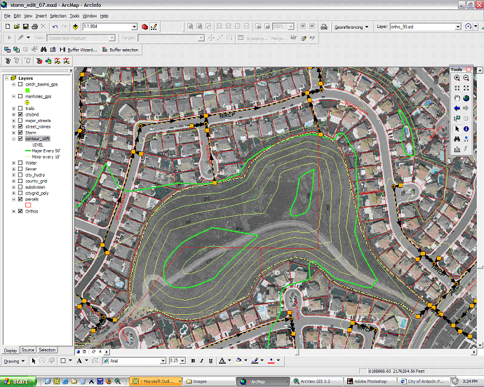
A geographic information system (GIS) is a computer system for visualizing, analyzing, interpreting and producing information related to the surface of the Earth. We use GIS to construct satellite imagery, manage geospatial data, create graphics/map, generate spatial modelling and produce three-dimensional images.