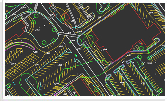
We plan, design and produce detailed measured maps from aerial photography. Our solutions are engineered from the complimentary usage of aerial cameras, imaging sensors, GIS, and LiDAR technology so projects are completed faster, better and more economically.


