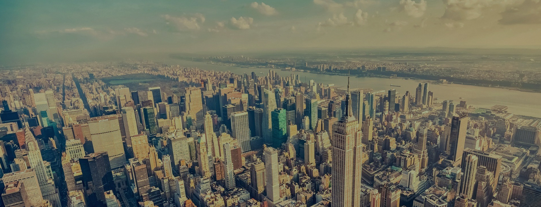
We use aerial or satellite imagery to create 3D terrain and building models. These large format photographs are taken from airplanes, kites, balloon, etc. with cameras. The high-resolution images captured by the cameras are then used to calculate the height of the terrain and buildings below.

